Projects
ALI’s urban research projects focus on maximizing the recovery, use, and reuse of rain and stormwater, at both local and regional scales. Environmental geospatial modeling coupled with fine-grained remote sensing analyses aid in identifying likely sources and quantities of stormwater and may suggest the shifts necessary within land use, zoning patterns, and building types to maximize these potential resources.
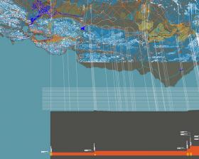
ALI’s rural research focuses on developing an environmental modeling and geodesign prototype to simulate, at a watershed scale, stormwater behavior. The goal is to identify and implement appropriate recapture and control techniques for slowing erosion and deposition processes within ephemeral stream systems in the arid West.
Filter Projects By
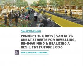
Connect the Dots | Van Nuys: Great Streets Challenge Grant
Connect the Dots is a series of a public art and environmental science workshops that bring sound science, design excellence, and forward-thinking policy to the streets of Los Angeles. Connect the Dots | Van Nuys, led by Aja Bulla Richards of ALI with Pacoima Beautiful, LA County Bicycle Coalition...More
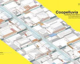
Coopelluvia: Facilitating a New Urban Water Commons
Stormwater will form an important part of LA's future water portfolio. Current city and county stormwater capture plans focus on stormwater reclamation from publicly-owned land. However, hundreds of square miles of private property that will yeild tens of thousands of acre-feet of runoff remain...More
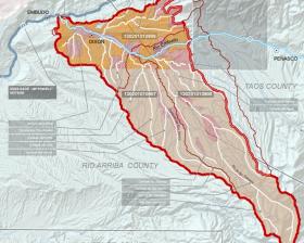
An Updated Watershed-Based Plan for the Lower Embudo Watershed, New Mexico
The US Environmental Protection Agency [EPA] and the New Mexico Environment Department, Surface Water Quality Bureau [NMED] have recently green-lighted a watershed-based planning process for addressing urgent water and land-use issues for the Lower Embudo Valley. The two-year process, funded by the...More
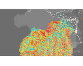
Design Assistance for Water-and Energy-Wise Communities, New Mexico
ALI recently completed a 3-year grant funded by HUD, “Design Assistance for Water-and Energy-Wise Communities,” in which rural stormwater potentials have been mapped and modeled in the Lower Embudo Valley, New Mexico. Working in partnership with local acequias and the Planning Department of Rio...More
Where is it? Let's (Re)Use It
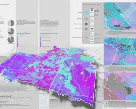
ALI's high-resolution geospatial model maps stormwater as potential groundwater augmentation supply in the San Fernando Valley. The model shows precisely—street by street, lot by lot—where 92,000 acre feet of water can be most advantageously captured, stored, treated, and/or infiltrated to offset...More
Design Assistance for Water-and Energy-Wise Communities, Burbank
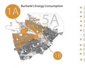
ALI recently completed a 3-year grant funded by HUD, “Design Assistance for Water-and Energy-Wise Communities.” ALI teams mapped and modeled water imports, embodied energy, and urban stormwater potentials for the City of Burbank. ALI design studios and seminars analyzed Burbank's water, energy, and...More
Mapping California’s Water-Energy Nexus
“Mapping California’s Water-Energy Nexus,” 2010. ALI Technics Studio: GIS and the Visualization of Water, Energy, and Climate Data.More


