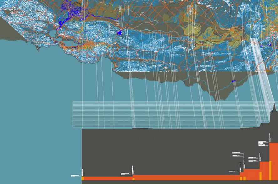
Mapping California’s Water-Energy Nexus

“Mapping California’s Water-Energy Nexus, ” 2010. ALI Technics Studio: GIS and the Visualization of Water, Energy, and Climate Data. ALI MSArch teams mapped water supply, water demand, energy inputs, and energy outputs of all three of the state's water supply lines: the Los Angeles Aqueduct, Colorado River Aqueduct, and State Water Project. The goal was to precisely map and visualize the correlation between energy requirements, carbon intensity, and water uses across the state.

